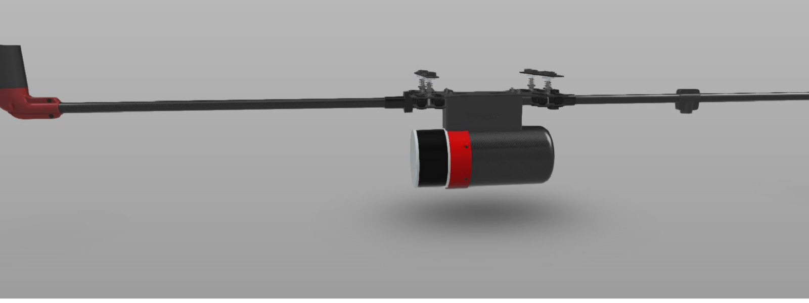
UAV LiDAR Systems - Detailed product technical specifications
To help you choose the best system for your needs.

Suitable applications and key features
Suitable applications and key features
| RS1 | RS2 | RS3 | |
|---|---|---|---|
| Benefit | Lowest cost High accuracy | High altitude LiDAR sensor made in the USA | High altitude High accuracy Lowest weight |
| Applications | Sites / forests with low – medium height vegetation Survey and mapping Mobile mapping Powerline survey Vegetation management Archaeology Mining | Sites requiring flying at a higher altitude e.g. - forests with 30-40m trees - steep slopes - undulating terrain Beyond Visual Line of Sight (BVLOS) | Sites requiring flying at a higher altitude e.g. - forests with 30-40m trees - steep slopes - undulating terrain Beyond Visual Line of Sight (BVLOS) |
| Price | $ | $$ | $$+ |
| LiDAR sensor | Hesai PandarXT32 | Velodyne VLP32 | Hesai XT32M2X |
| Maximum LiDAR range (feet / m) | 394 / 120 | 656 / 200 | 984 / 300 |
| Recommended flying altitude (feet / m) | 197 / 60 | 394 / 120 | 394 / 120 |
Accuracy
Accuracy
| RS1 | RS2 | RS3 | |
|---|---|---|---|
| LiDAR range accuracy (inches / mm) | 0.8 / 20 | 1.6 / 40 | 0.8 / 20 |
| GNSS\INS system | Mapping grade | Survey grade | Survey grade |
| Dual Heading as standard | Each Routescene UAV LiDAR system option is equipped with dual antenna GNSS to establish heading. This is the best method and provides not only position and velocity but also a true heading which remains accurate even when stationary. Read more. | ||
| Absolute post processed accuracy at 30m range from scanner (inches / mm) | 1.4 / 35 | 1.7 / 42 | 0.7 / 18 |
| Absolute post processed accuracy at 80m range from scanner (inches / mm) | 3.3 / 85 | 2.0 / 50 | 1.2 / 31 |
Upgrade options
Upgrade options
| RS1 | RS2 | RS3 | |
|---|---|---|---|
| Include a survey grade INS sensor? This improves the accuracy of the overall system by approximately: | x2 | ||
| Include an RTK receiver in the Ground Station? | 1) This transmits Real Time Kinematic (RTK) corrections to the LidarPod in-flight and enables you to create a high accuracy point cloud immediately after the mission is complete. 2) Provides the ability to process using Post-Processed Kinematic (PPK) and\or improves the accuracy of the overall system by having a very short PPK baseline. | ||
Resolution
Resolution
| RS1 | RS2 | RS3 | |
|---|---|---|---|
| Number of lasers | 32 | 32 | 32 |
| Number of returns | 2 | 2 | 2 |
| Maximum number of points/second | 1,280,000 | 1,200,000 | 1,920,000 |
| Point density with one pass, maximum number of returns 5Hz, 40m flying altitude, 5m/s (points / m2) | 1,095 | 1,027 | 1,643 |
| Field of view (Along track) (degrees) | 31 | 40 | 40.3 |
Environmental
Environmental
| Weight of system (lbs / kg) | 4.9 / 2.2 | 5.1 / 2.3 | 4.2 / 1.9 |
| Dual power input | Yes | Yes | Yes |
| Voltage range (VDC) | 12-48 | 12-48 | 12-48 |
| Operating temperature (Celsius) | -20 to +65 | -20 to +60 | -20 to +65 |
| Internal data storage (Gb) | 120 | 120 | 120 |
| Trigger external camera with analogue, IR or PWM pulse | Yes | Yes | Yes |
| LiDAR sensor wavelength (nm) | 905 | 903 | 905 |
